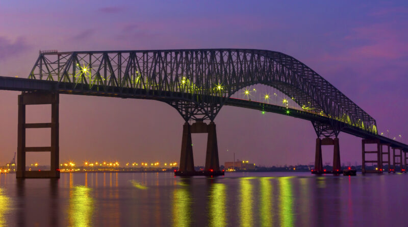
Measuring Pollution Levels in the Port of Baltimore After the Bridge Collapse
When the container vessel Dali crashed into the Francis Scott Key Bridge, causing its collapse in Baltimore Harbor on March 26, 2024, ship deliveries to the busy port were halted, and the number of trains and trucks entering the city dropped dramatically.
According to NOAA Research, NOAA researchers immediately knew that there would be unique data to capture while the port was shuttered. Large trucks, piles of coal, and the machinery used to power cranes and ships all contribute to particulate matter in the air and to pollution. Since early April 2024, a team from the NOAA’s Air Resources Lab have been taking air samples in the Curtis Bay neighborhood immediately to the east of the bridge. They hope to provide new insights into the impacts of transportation on air quality for local communities.
Their tool for measurement – a sport utility vehicle or SUV – may seem counterintuitive, since vehicles contribute to overall emissions.
But the fine spatial scale of urban pollutants such as black carbon require a tool that samples at the level where people live and breathe. Some neighborhoods can be much more impacted than others due to topography, roads and the location of various buildings. NOAA’s Air Resources Car, NOAA’s ARC, was built as a mobile measurement platform inside an SUV. The size of the vehicle’s interior allows it to hold different sampling equipment.


