How ‘floating car data’ can help cities tackle traffic
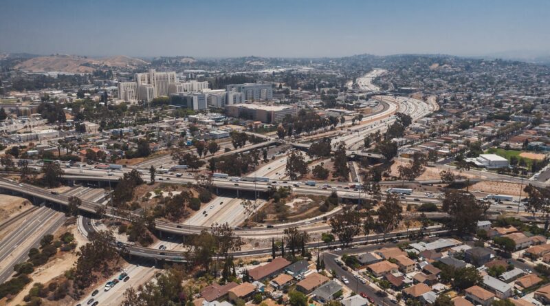
As urban congestion worsens, some cities are increasingly leveraging real-time traffic data to inform infrastructure planning and optimize road networks. As reported by Smart Cities Dive, major cities like New York and Washington D.C., are losing up to 100 hours annually in rush-hour delays. “Floating car data: gathered from GPS-equipped devices in vehicles and smartphones allows municipalities to assess traffic patterns and measure the effectiveness of changes such as speed limit adjustments and traffic calming measures without the need for costly physical sensors.


